Sḵwx̱wú7mesh Úxwumixw (staḵw meymúy syétsem)
Squamish Nation Hazard Map
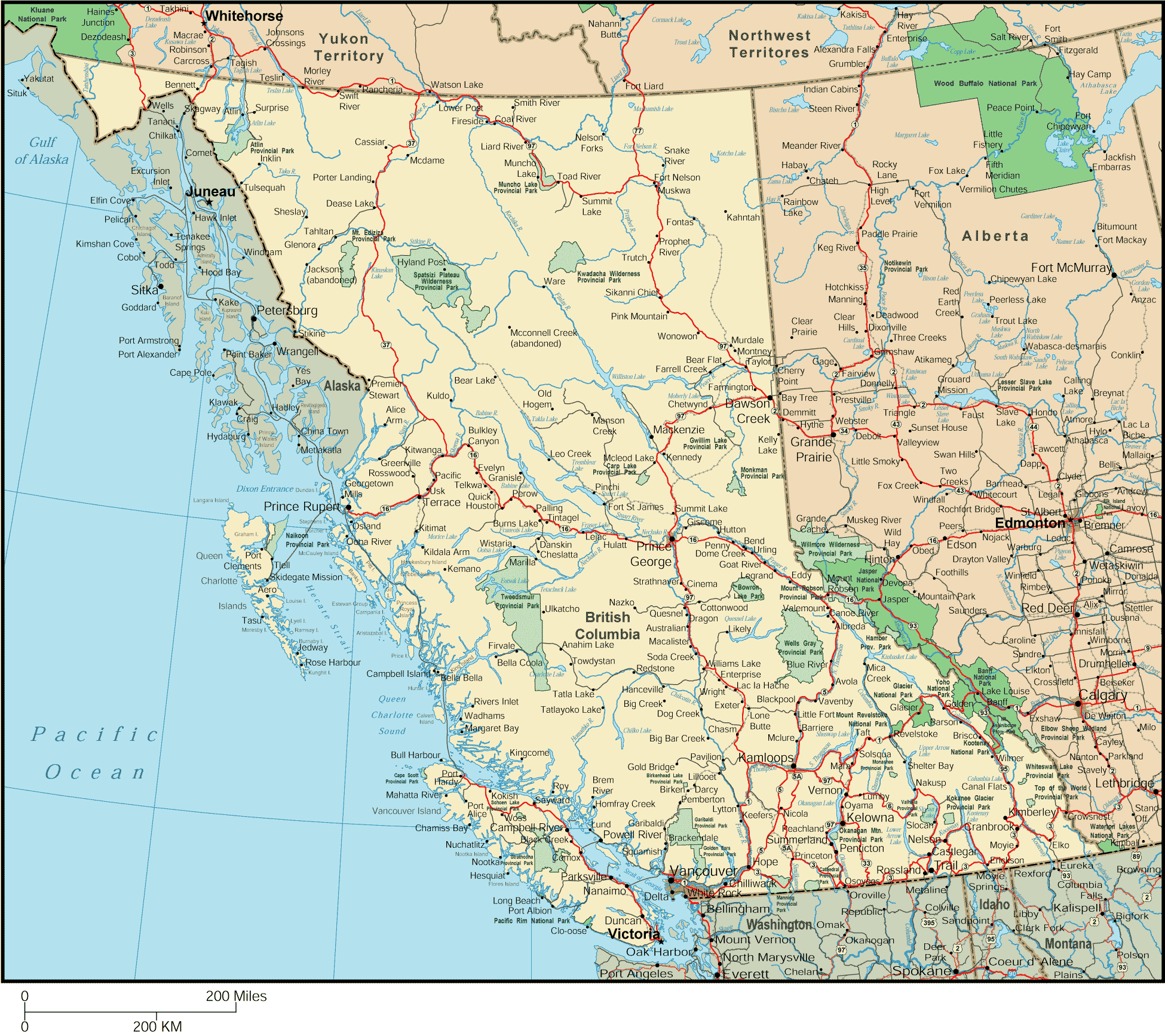
Flood-Focused Hazard Map covering the Squamish Nation.
Flood-Focused Hazard Map covering the Squamish Nation.
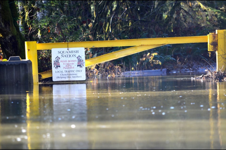
The Sḵwx̱wú7mesh Úxwumixw (Squamish Nation) has significant exposure to flood hazard.
This website portal contains reports done by students in Simon Fraser University's Recreation and Environmental Management program. Under the direction of Andreanne Doyon and David Harrison, students analyzed flood risk in 5 regions of traditional Squamish territory and 5 sectors of risk. Data from all projects was organized into one master map below, which contains links to full length reports also accessed below.
This section contains the flood hazard report and supporting materials for Metro Vancouver.

This section contains the flood hazard report and supporting materials for North Vancouver.
This section contains the flood hazard report and supporting materials for the North Shore.
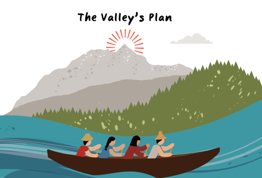
This section contains the flood hazard report and supporting materials for the Squamish Valley.
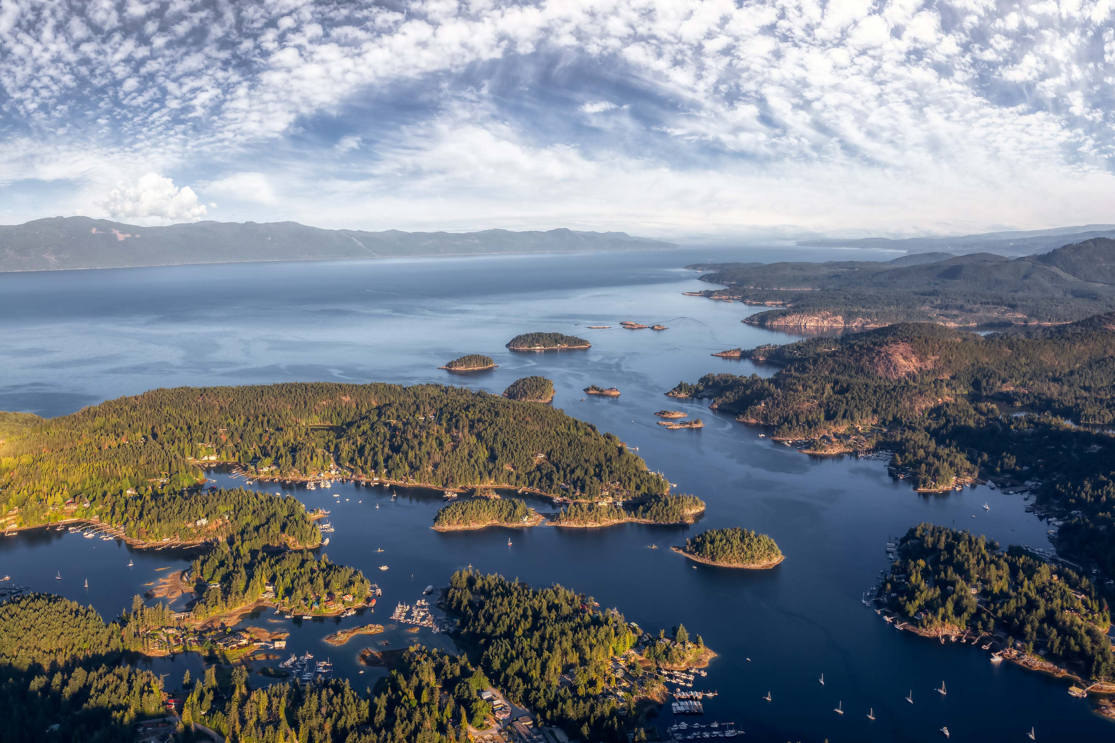
This section contains the flood hazard report and supporting materials for the Sunshine Coast.
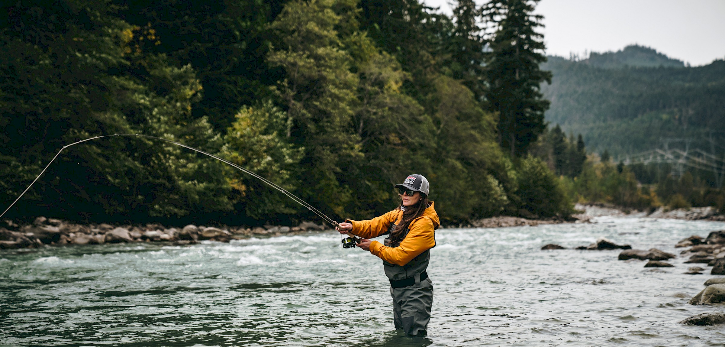
This section contains the flood hazard report for fish habitat, fishing, and rivers.
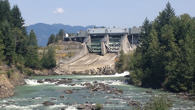
This section contains the flood hazard report for critical infrastructure.
This section contains the flood hazard report for land use and development.
This section contains the flood hazard report for provincial policy.
This section contains the whitepapers guiding the geospatial data.